Where To Ride My Bicycle
Adelaide is the perfect city for riding a bike! Many of the streets have dedicated bike lanes making it safe and easy to navigate. Enjoy cruising along the River Torrens or check out the scenic trails winding through the parklands. Visit historical attractions and the glorious beaches at Glenelg. Park your bike and wander through Rundle Mall for a spot of shopping or pack a picnic to enjoy in the peaceful Botanic Gardens. There are many cycle paths connecting each township, allowing you to cruise along and immerse yourself in one of Australia’s premier food and wine regions.
Here’s a few suggestions to get you started Inner City Map Here. Download the Explore Adelaide by Bike map
Alternatively checkout this next link. Maps 5,8,10, 11 are along the Beach From North to South.
Maps 6 and 9 are maps nearest to Adelaide CBD. Click here to follow directory.
South Australian Cycling Routes Directory- has all paths highlighted map for bike routes/paths on a google map. Also you can place pin points between destinations thats shows distances and approx times- Recommended.
River Torrens Trail 9.6km / 45mins
Explore Adelaide’s heritage and take a relaxing ride along the River Torrens. Visit the Adelaide Zoo, tour the iconic Adelaide Oval, take a stroll through the Botanic Gardens and enjoy a picnic lunch overlooking the water.
Park Lands Trail 18km / 75mins
Explore the green open spaces around the city on this flat easy ride with many attractions to visit along the way. Enjoy a picnic in one of the many beautiful parks.
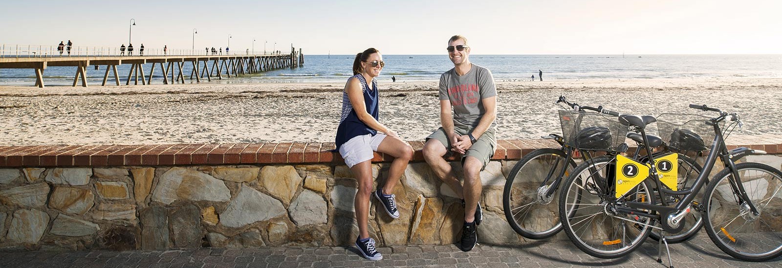
Glenelg
Explore the world-class beaches of Glenelg with a leisurely ride along the Esplanade. Stop for a lazy lunch and cruise up Jetty Road for ice cream and souvenirs.
There is bicycle track that follows the coast from Seacliff to Glenelg to West Beach to Henley Beach to Grange to Semaphore to North Haven you can follow the coast from an 1hr period to a day trip return.
McLaren Vale 1hr to 12 hrs
Lots of great track, prefect for exploring the wineries. Follow up to Willunga and find the ''Çoast To Vines track'' Recommend McLaren Vale to Willunga 14km round trip flatter trail.
Seacliff to MclarenVale to Willunga
MclarenVale Info Centre Map Download
Victor Harbor
Loads of track up and down the encounter bikeway. Go between Granite island to Victor Harbor to Port Elliot to Goolwa and more, easy enough to fill up the day riding along the beautiful coast.
Encounter Bikeway Map and Tourist Guide
https://www.victor.sa.gov.au/webdata/resources/files/bikeway.pdf download
Port Elliot
Similar to Victor Harbor you can choose to go either east or west along the Encounter Bike-way path. Enough track for a day trip depending how much energy you have to spend.